Dr.
Matt Nolan
Water
and Environmental Research Center
Institute of Northern Engineering
University of Alaska Fairbanks
matt.nolan@uaf.edu
|
|
Dr.
Matt Nolan |
|
|
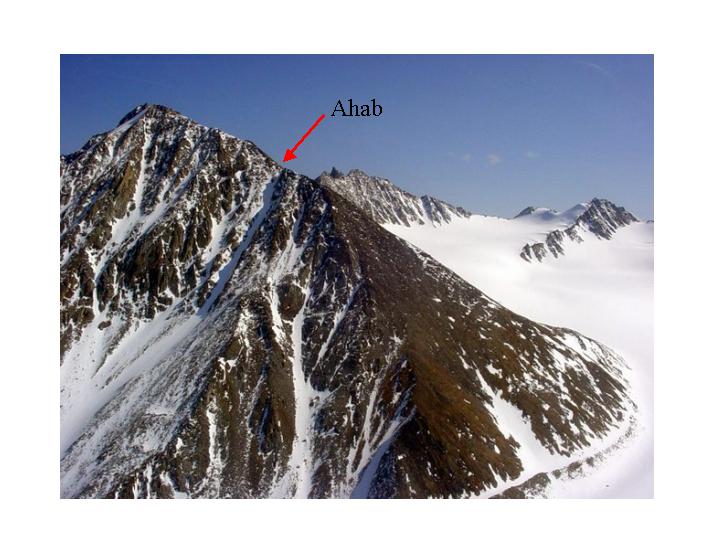
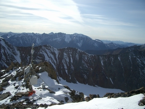
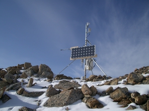
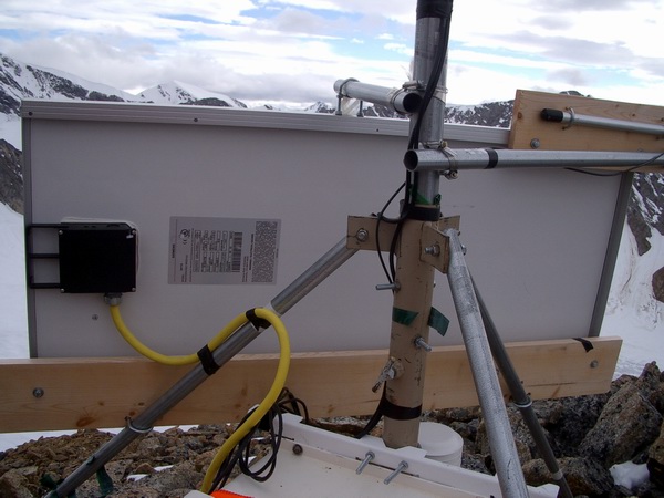
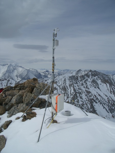
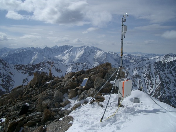
Station AHAB This station was established in May of 2003 on a ridge behind the moraine camp on McCall Glacier. Approximate elevation is 7930 feet (2417 meters). This ridge leads to a peak locally known as Ahab, which overlooks the Hanging Glacier. This site was selected as a comprimise between convenience of access and sampling of the general weather pattern (particularly wind) in this region of the Brooks Range. It initially measured air temperature and relative humidity at two heights, barometric pressure, wind speed and direction, net radiation, and rain. Another major siting consideration was to ensure a line-of-sight link with Kaktovik, so that our radio telemetry would work, as well as a good view of the surrounding glacier so that additional repeaters would not be required. Click here to get current weather Overview Location: 69d 18m 01.8sN 143d 49m 20.7sW elevation: 2417m Program
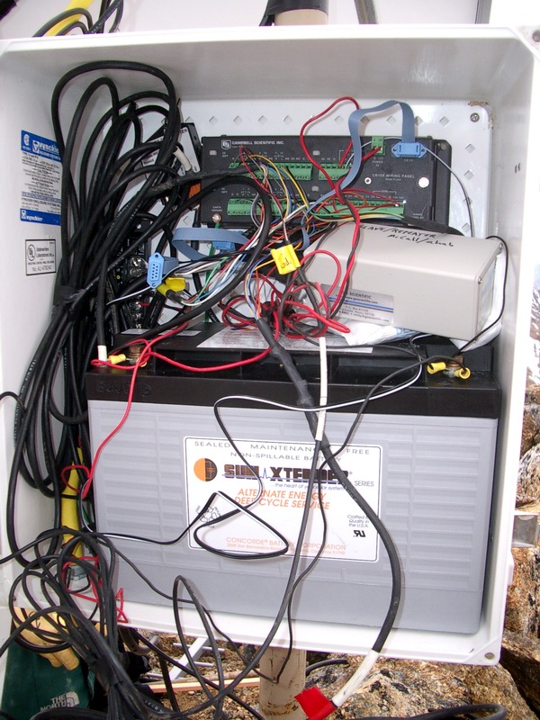
May 2003 - Aug 2003 Wind vane malfunctions: AT/RH 3m: missing December 2003 - May 2004 Net rad: missing December 2003 - permanently removed 24 May 2003: Initial installation May 2003 equipment list: Notes. Telemetry link was confirmed to work from this location to Kaktovik, but telemetry system not installed until August.
15 Aug 2003: Modifications and download - Wind vane missing- probably blew
off within a few weeks of initial installation; replaced.
16 May 2004: Modifications - 3 m AT/RH, net rad, wind and solar
panel were missing. This likely occurred during a storm in December or
January.
August 2004: Notes - The met station was visited only briefly during this trip and the logger box never opened. Bernhard noticed the wind vane was missing (never replaced), but all else looked ok.
|
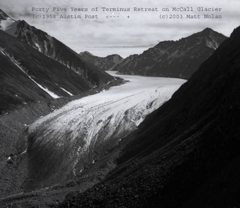
(c) 2003 Matt Nolan. If you find any broken links or other errors, please let me know. Thanks.