Dr.
Matt Nolan
Water
and Environmental Research Center
Institute of Northern Engineering
University of Alaska Fairbanks
matt.nolan@uaf.edu
|
|
Dr.
Matt Nolan |
|
|
McCall
Glacier Field Campaigns
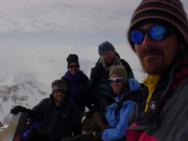
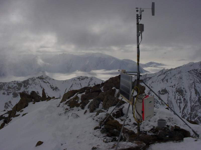
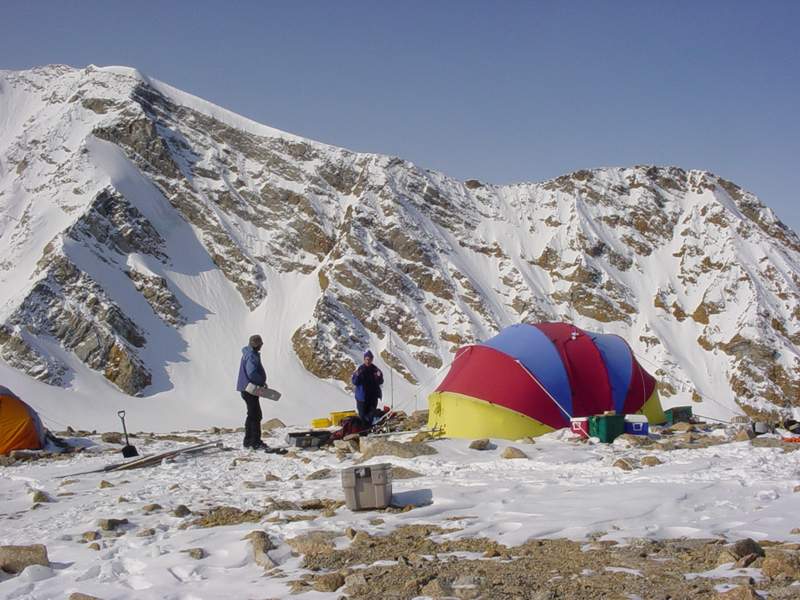
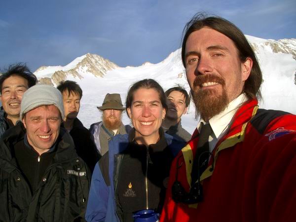
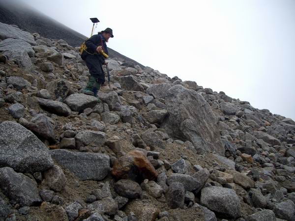
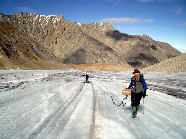
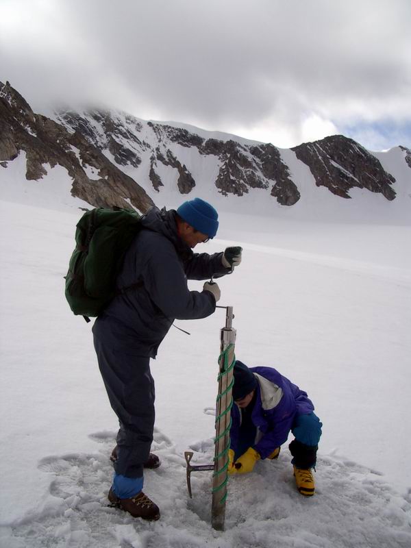
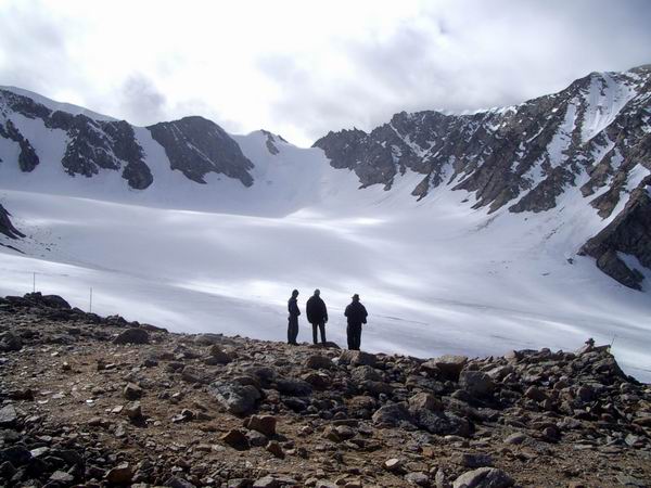
As of November 2003, we have completed two successful field campaigns. The first was in May of 2003 and the second of August 2003. These pages describe some of the highlights from those trips. First expedition: 16 May - 02 June 2003 Goals: This was our first trip to the glacier, and our main goals were to establish the mass balance and survey stake network, install several weather stations, and just generally get the feel of the place. Field team: Matt Nolan, Bernhard Rabus, Bjorn Johns, Kristin Nolan, and Andy Ellsberg Highlights: A quick review of the results thus far showed that McCall glacier is losing mass at roughly the 1972-1993 rate, slower than the '92-'95 rate; nearby Hubley glacier seems to be losing mass at roughly double the prior rate, possibly due to having lost most of its accumulation area (?). Strong winds (60+ mph) were observed on McCall which appeared to preferential scour snow (and occasionally people) from the eastern side of the glacier (below the confluence), down to the ice, suggesting that wind may be as important as shading in determining McCall's unusual equilibrium line.
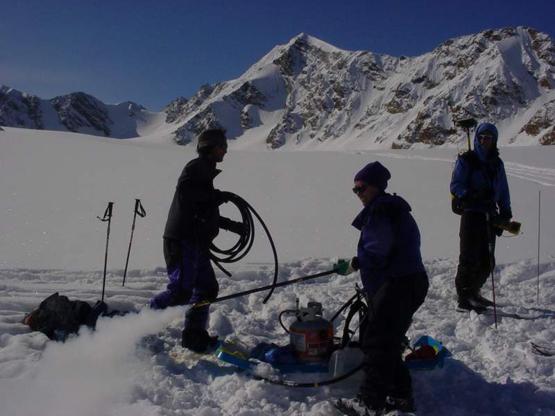
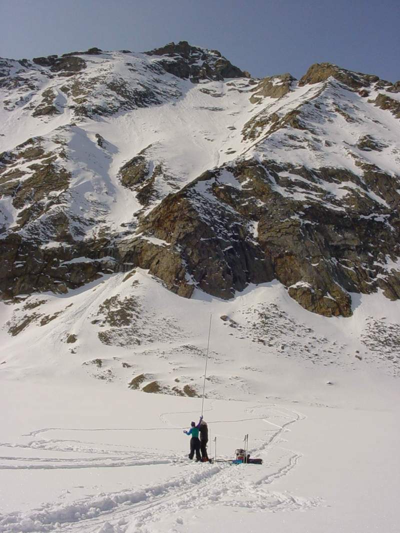
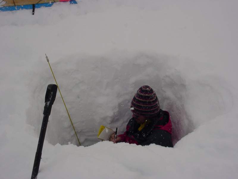
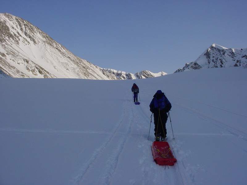
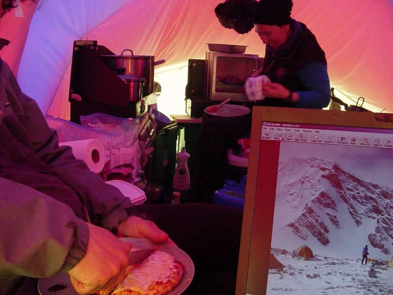
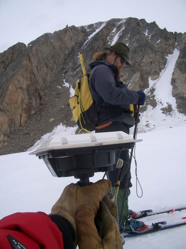
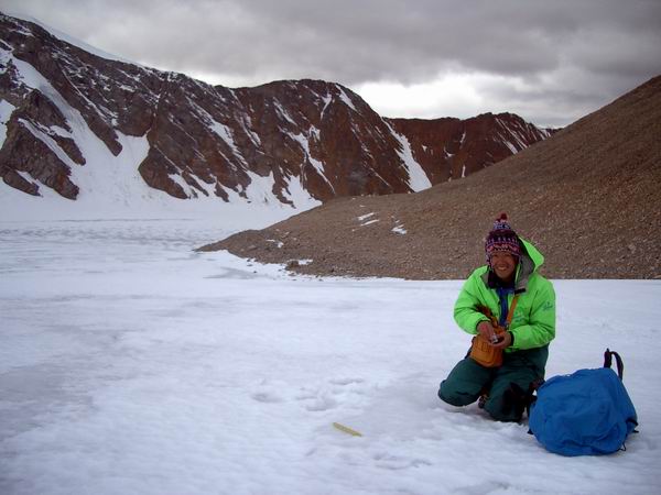
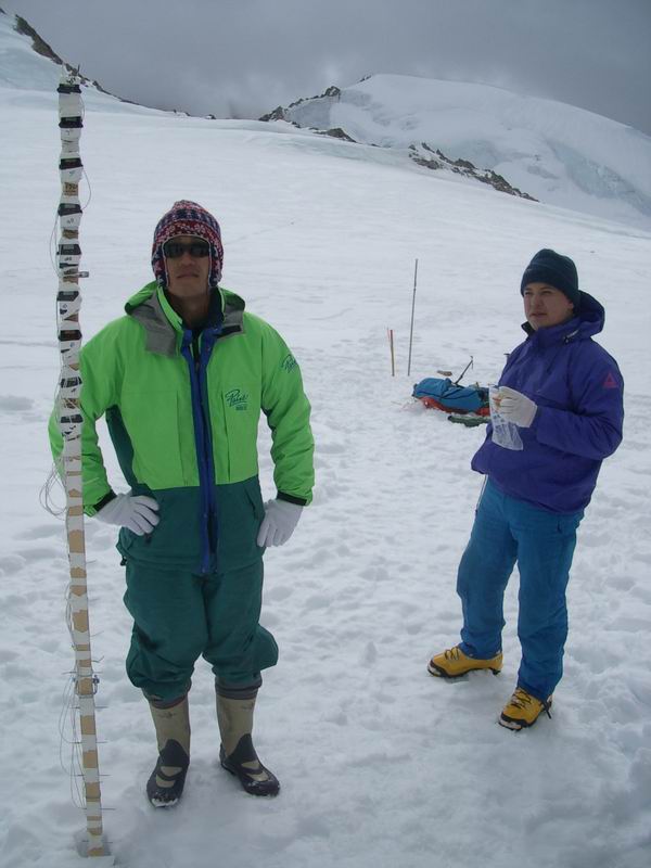
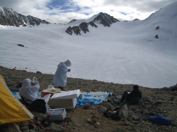
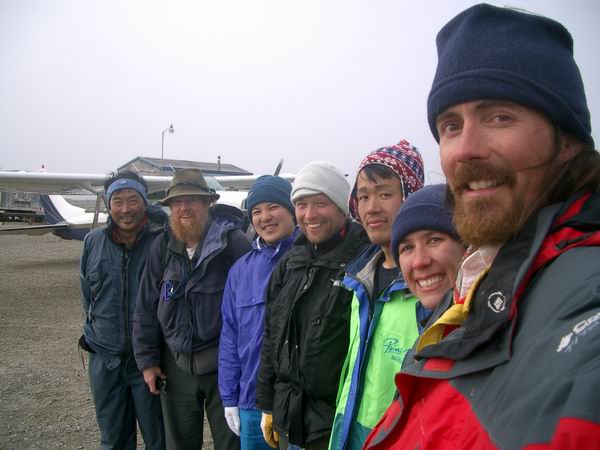
Second expedition: 8-18 August 2003 Goals: Having established a research infrastructure, the main goals of this trip were to exploit that infrastructure, begin making comparative measurements, and start taking a broader, more qualitative look at the glacier itself to assess what local phenomena may be contributing to the changes we are observing. We also collaborated with a Japanese research group interested in taking ice cores from McCall Glacier for paleo-climate reconstruction. Field team: Matt Nolan, Kristin Nolan, Ken Irving, Shuhei Takahashi, Makoto Igarashi, Takahiro Segawa, and Frank Pattyn. Highlights: A preliminary review of reduced
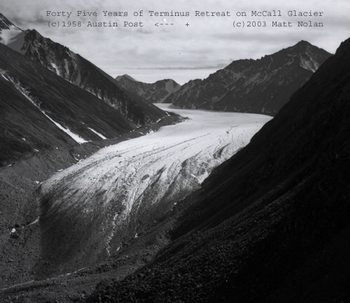
survey data shows that significant changes have occurred at the two most
often repeated survey transects dating to 1969. The lower transect is
now completely on rock -- the terminus has retreated past it. The upper
transect is losing elevation at a rate that is faster than the increase
in rate that occurred in the 1970s (this the Rabus et al figure that is
copied frequently in many publications, which is largely used incorrectly
(not by Rabus, but those who use it)). Elevation change at a cross-section
can be a useful metric, but its analysis is complicated by ice flow. We
have plenty of this information, but it has not yet been analyzed, though
data reduction shows that the rate of ice loss everywhere has increased
since 1993. This is interesting considering that the mass balance seems
to be positive this year (more snow accumulated than ice was lost) for
the first time on record. The positive balance seems to be part of a trend
of increasingly less negative balances over the previous few years, but
again this is preliminary and a much closer look needs to be taken at
all of the older data. If this is true, it means that most of the ice
loss in the past decade occurred between about 1993-1998. Our work measuring
10 m deep ice temperatures should reveal any shifts in mean annual air
temperature in the past decade as well as lapse rates, as it did in the
Rabus et al studies in the 1990s.
|
(c) 2003 Matt Nolan. If you find any broken links or other errors, please let me know. Thanks.