Dr. Matt Nolan
Institute of Northern Engineering
University of Alaska Fairbanks
|
|
Dr. Matt Nolan
Institute of Northern Engineering |
|
McCall Glacier IPY Lake El'gygytgyn IPY Virtual Globes IPY
|
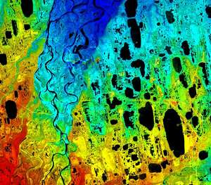
Lake El'gygytgyn Data and Resources This page contains data and other resources that may be useful to anyone studying the lake or seeking to learn more about it. Here you can download a PowerPoint file that contains a lot of figures and plots of local weather, lake conditions, and background information (12 MB). This is what I sort of presented at the Cologne meeting in November 2007. You can download a digital elevation model of the crater region here (8 MB). This DEM was created by scanning the contours of the paper topographic maps of the area, then converting this into grid format. It is a zipped file of X,Y,Z triples in UTM Zone 59N in ascii format, and matrix has 1260 rows and 1443 columns. Lake elevation was listed as 492 m on the paper contour map, but here we have merged the topographic map with the bathymetric map that was available in 2000. Here you can download a text file with coordinates for all mouths of all of the 50 streams that enter the lake. This numbering system is recommended for use by all researchers there, to minimize confusion in the field. The coordinates are in UTM Zone 59N. Here you can download a Google Earth KML file containing the stream mouth locations, the proposed drill sites, and several SAR images overlaid onto the lake showing the location of typical cracks that develop in spring. Note there is a slight misregistration between the stream inlet coordinates and this imagery; I believe that our coordinates are accurate, but they were determined from the DEM, not by field validation. Also, the SAR imagery was fit by hand, not properly georegistered. In any case, I think running independent GIS analysis using the DEM is fine, but I believe that all data sharing needs should be coordinated through Google Earth, as it is free and easy to use. Please send me any other related data in KML format and I will add it to this file. Here you can download the contents of a CD that was created for visualization and outreach purposes. It is exactly the same as can be found online here. Here you download about 4 years worth of SAR data which shows how and when lake ice forms and melts (55 MB). These images form the basis of this scientific paper. Here you can download data from the YuriMet Station (37MB) I installed in 2000 and which ran through spring 2009. Included are photos, metadata, the program, and raw and cleaned data in a zip file.
|
(c) 2003 Matt Nolan. If you find any broken links or other errors, please let me know. Thanks.